update with photos
I've left my bloody camera battery charger somewhere, and you can't charge the camera batteries by putting them in the camera and plugging it in. Doesn't work. Thus I'll probably have to buy a new charger, and another backup battery. It's gonna be at least a hundred bucks. Anyway for the last camp we had, I had to use the old "mercury cyberpix" camera that is three yrs old. It's not bad; it gets the job done (500 pics from summer '04 in the Monashees, 2075 pics from Europe summer '05). Here's a few of the nice pics it took for me over the six days.
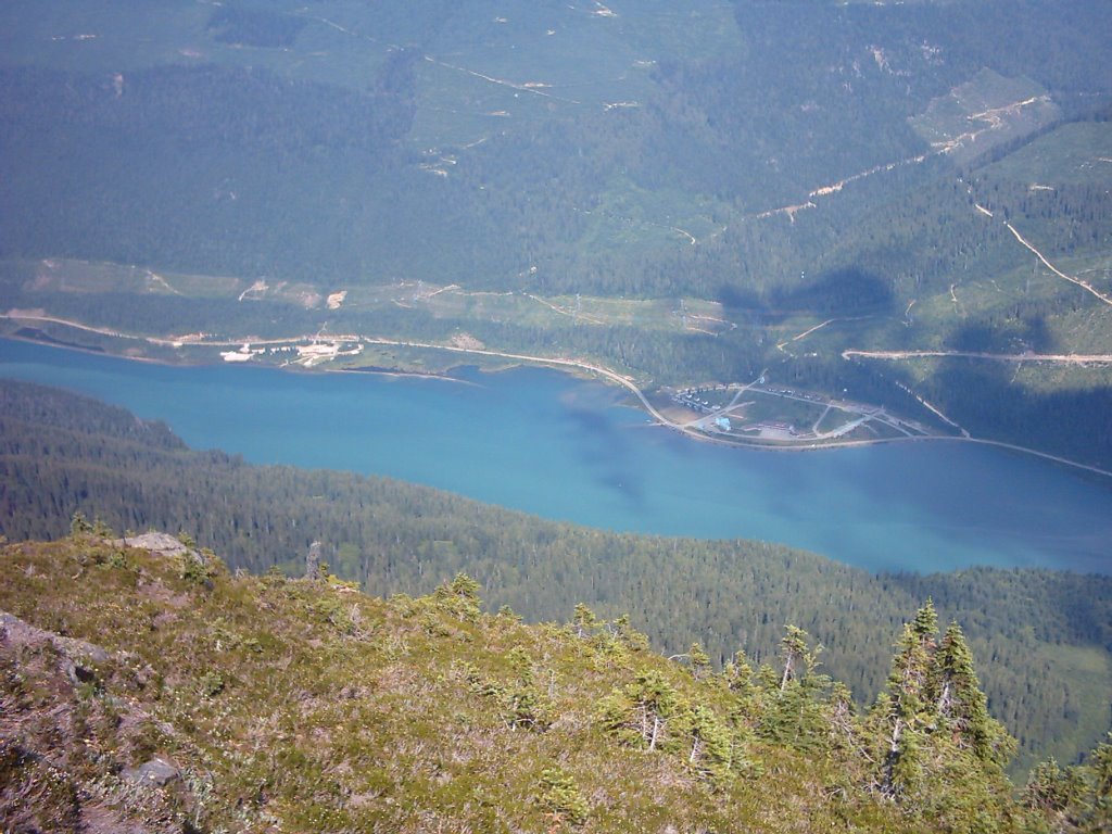 This is Mica Creek (to right) and the Canadian Mountain Holidays (CMH) "Monashees" heli-skiing and heli-hiking lodge (to the left). They're the ones we're in contact with every night at 7pm when we're in the field. Note how Mica Creek is rather small. Again: no groceries, no beer store, only a few houses and a lodge for hydro workers from the dam. It has lost it's classification as a village, and is not a proper community anymore. It was only a village when there were thousands there to build the dam in the late 60s - early 70s. There was everything a normal town would have, including a school.
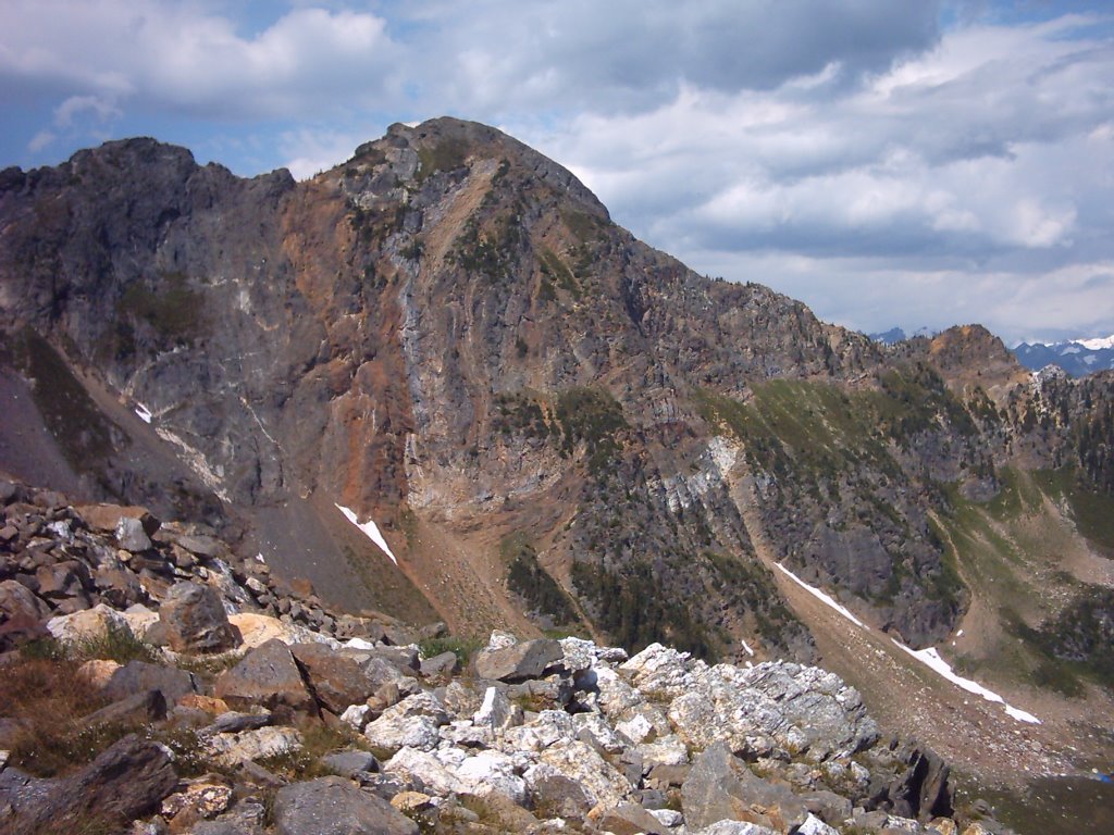 Ten points and a degree in structural geology if you can describe the prominent feature in the above picture.
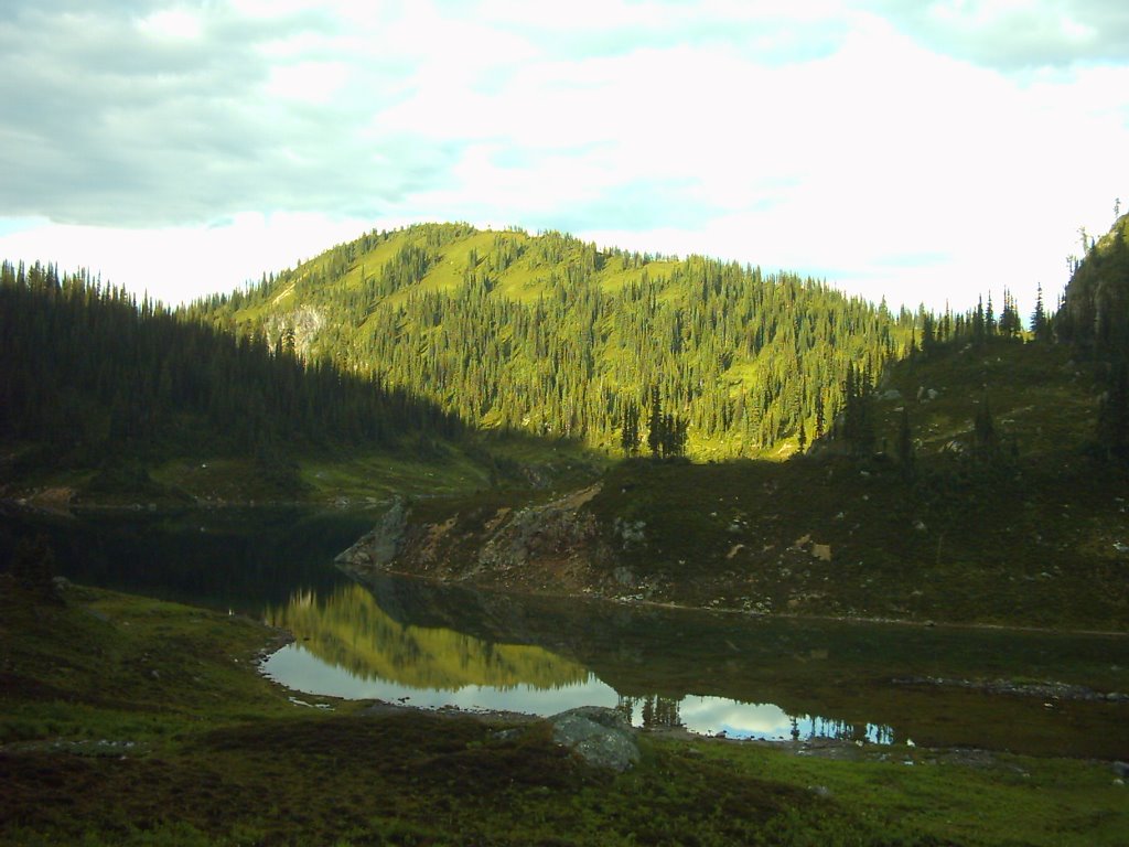 The lake, from the kitchen.
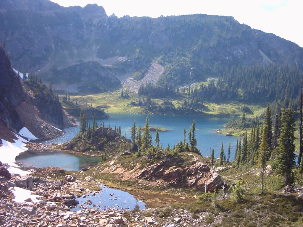 The lake, from the other side looking back towards the kitchen and tent (I don't think either are visible). The lake was warm enough to swim in, but we never did because we got mostly crap weather after the first two days.
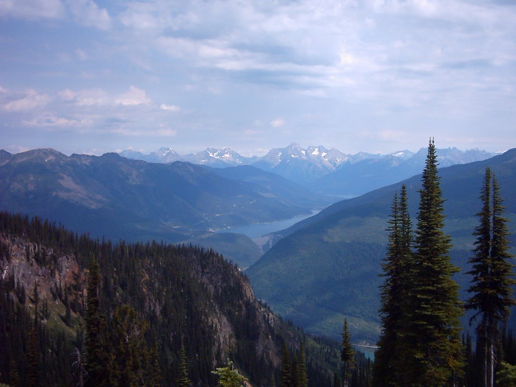 The Mica Dam, with the Columbia Reach of Kinbasket Lake. Kinbasket is huge; it's mostly responsible for generating the crap weather we get. The dam is also huge; when finished in '73 it was the largest earth-filled dam in the world. It's not wide (as you can see) but it is very long (parallel to river direction). The slopes on the headwater and tailwater sides are very low angle, and at its base it's sthg like 5 km long. It also rises well above the headwater level, so that large waves won't wash over it (a real concern with a lake this big). Phil Simony, one of my supervisors, recounted how it took about five years to fill the headpond, during which time he was frantically rushing around in it, trying to map the available outcrops before they were flooded.
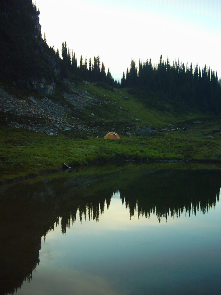 And lastly the tent, with the small pond nearby. This was on the morning of the heli pickup. I was expecting the copter in about 5 minutes. 7.5 hrs later they actually showed up. We passed the time by killing annoying insects, eating chocolate, throwing rocks at water and at other rocks, and finally by damming the pond by the kitchen until the flow was diverted elsewhere. I was rather pleased with our engineering feat.
 Back in F'ton on the 23rd, there until the 7th or sthg. Hope to see as many of y'all as possible.
posted by Grumball at 3:54 PM
![]()


3 Comments:
i miss you!!!!!!!!
3:37 PM, August 08, 2006
Nice shots...
6:41 PM, August 09, 2006
This comment has been removed by a blog administrator.
11:56 AM, February 06, 2007
Post a Comment
<< Home